Get your science fix here: research, quackery, activism and all the rest
-
Gfamily
- Light of Blast
- Posts: 5241
- Joined: Mon Nov 11, 2019 1:00 pm
- Location: NW England
Post
by Gfamily » Sun Feb 07, 2021 9:57 pm
I am convinced that about 10-15 years ago I had some software that would allow me to take an image of an old map, and plot two or three points against latitude and longitude, and then merge it with an up-to-date map in a similar way to the
NLS "side by side maps" *
Does anyone have anything that does this now? I'm trying to line up this old map to current day roads.
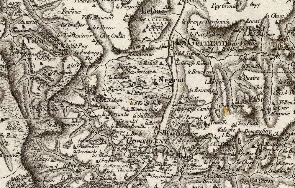
- Charente 1773 recrop .jpg (430.3 KiB) Viewed 1080 times
*if this is your first finding of the side by side maps; you're welcome
My avatar was a scientific result that was later found to be 'mistaken' - I rarely claim to be 100% correct
ETA 5/8/20: I've been advised that the result was correct, it was the initial interpretation that needed to be withdrawn
Meta? I'd say so!
-
Grumble
- Light of Blast
- Posts: 4792
- Joined: Mon Nov 11, 2019 1:03 pm
Post
by Grumble » Sun Feb 07, 2021 10:41 pm
I seem to remember that
https://www.old-maps.co.uk/ did this, but they don’t on my phone. However they might do on a bigger screen computer?
Edit: never mind, I don’t think I answered your actual question at all.
where once I used to scintillate
now I sin till ten past three
-
Bird on a Fire
- Princess POW
- Posts: 10137
- Joined: Fri Oct 11, 2019 5:05 pm
- Location: Portugal
Post
by Bird on a Fire » Mon Feb 08, 2021 1:35 am
I've been doing that recently with QGIS
https://www.qgis.org/en/site/
It's free. It's a fully-fledged GIS program, so might look a bit complex, but you seem a technically savvy enough person to get on with it. If you search for 'digitise maps in qgis' or similar there are quite a few walkthroughs, like this one
https://www.qgistutorials.com/en/docs/d ... asics.html
There's a plugin called QuickMapServices which will download online map data from openstreetmap, or satellite imagery via ESRI, for example. So you can click on a point on your image, then navigate to the equivalent point on the map and click it, and it links them up.
We have the right to a clean, healthy, sustainable environment.
-
Gfamily
- Light of Blast
- Posts: 5241
- Joined: Mon Nov 11, 2019 1:00 pm
- Location: NW England
Post
by Gfamily » Mon Feb 08, 2021 8:48 am
Bird on a Fire wrote: ↑Mon Feb 08, 2021 1:35 am
I've been doing that recently with QGIS
https://www.qgis.org/en/site/
It's free. It's a fully-fledged GIS program, so might look a bit complex, but you seem a technically savvy enough person to get on with it. If you search for 'digitise maps in qgis' or similar there are quite a few walkthroughs, like this one
https://www.qgistutorials.com/en/docs/d ... asics.html
There's a plugin called QuickMapServices which will download online map data from openstreetmap, or satellite imagery via ESRI, for example. So you can click on a point on your image, then navigate to the equivalent point on the map and click it, and it links them up.
Thanks.
I'll have a look at that/those and see what I can do
My avatar was a scientific result that was later found to be 'mistaken' - I rarely claim to be 100% correct
ETA 5/8/20: I've been advised that the result was correct, it was the initial interpretation that needed to be withdrawn
Meta? I'd say so!